
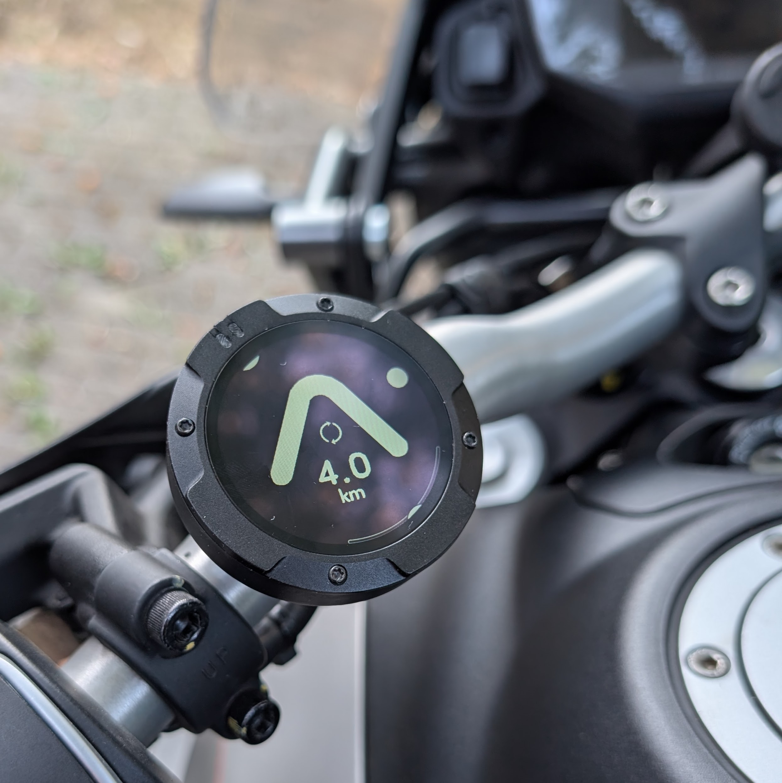
A stylish, focused and compact navigation system that can handle all-day riding. It coule save your smartphone, too! The route planning features aren’t class-leading but updates happen regularly. I’m testing this to see if it will work on my 10k km, 6 week tour.
I’ve been a Calimoto subscriber for a number of years and an online navigation user for over 18 years. I acquired the Beeline Moto 2, from a friend in 2025 but it wasn’t until I got my Moto Guzzi V855 TT Travel in May 2026 that I bought the mount in and started testing.
It looks so good and is so compact that I absolutely want it to be my main navigation device for the 10k tour, and that’s why I’m doing extensive field testing.
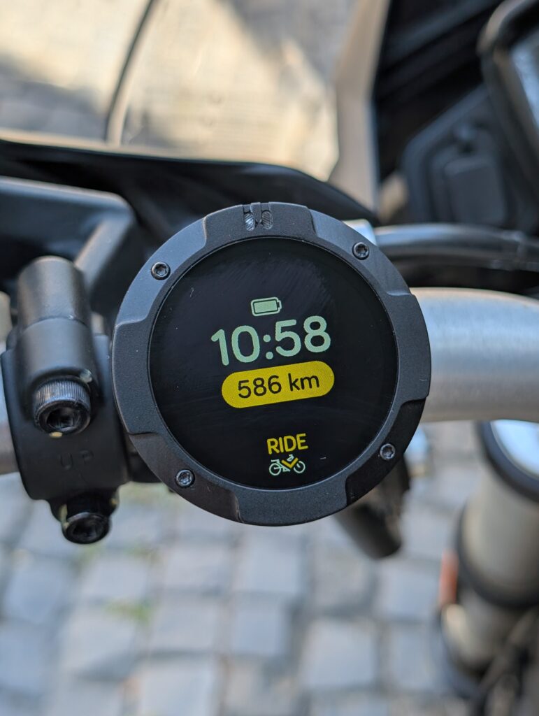
Beeline is a navigation app focused on powered and unpowered two-wheeled transport and you can use it on your smartphone just as you would Calimoto or Google Maps. The other difference is that the Moto II (aka Moto 2) unit pairs with the Beeline app over Bluetooth and becomes a simple and efficient display and controller that allows you to tuck the smartphone away safely.
Oh, by the way, I’m not sponsored as I write this review. I’ve paid for the app upgrade too. I never use headphones in my crash helmet so I’m not testing anything relating to that.
A summary of the Beeline Moto II navigation system.
The Beeline Moto II is good enough, across both hardware and software, to satisfy almost everyone. Long tours, regular commutes and, with a subscription a fantastic topological map layer, live traffic and speed camera database. It’s 9/10 from me with just a few issues in that last 10%.
The positives: style, size, good planning app, battery life (both on phone and Moto II device), ease of control. There’s no ongoing charge unless you want live traffic and 3D topological maps.
The negatives are related to waypoints and points-of interest:
1) Inter-waypoint routing styles needed for true all-day planning
2) Waypoint distances on-screen
3) Points of interest (POI) layers. E.g. Biker cafes, scenic routes and bike museums!
The Moto II navigation module
For reference, i’m using the Moto II 750F, hardware version: 9.5.1 and firmware: 4.3.996, August 2026. I’m paired to a Pixel 9 and using Beeline version 4.2.8014.
The Beeline August 12 update didn’t bring any major changes.
This handheld unit has a 38.5 mm display, is 53 mm across and weighs just 42 gm (1.7 ounces). It’s truly pocketable.
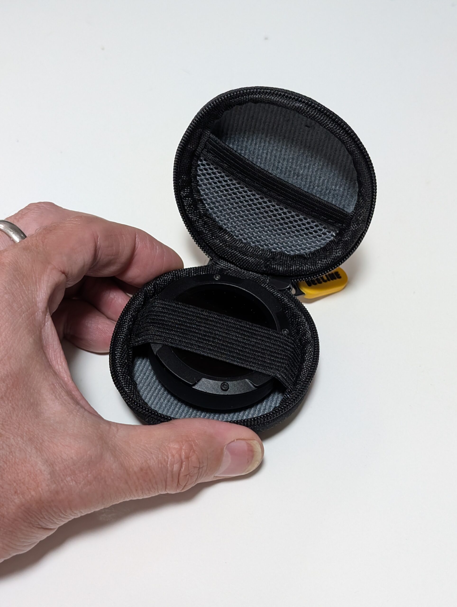
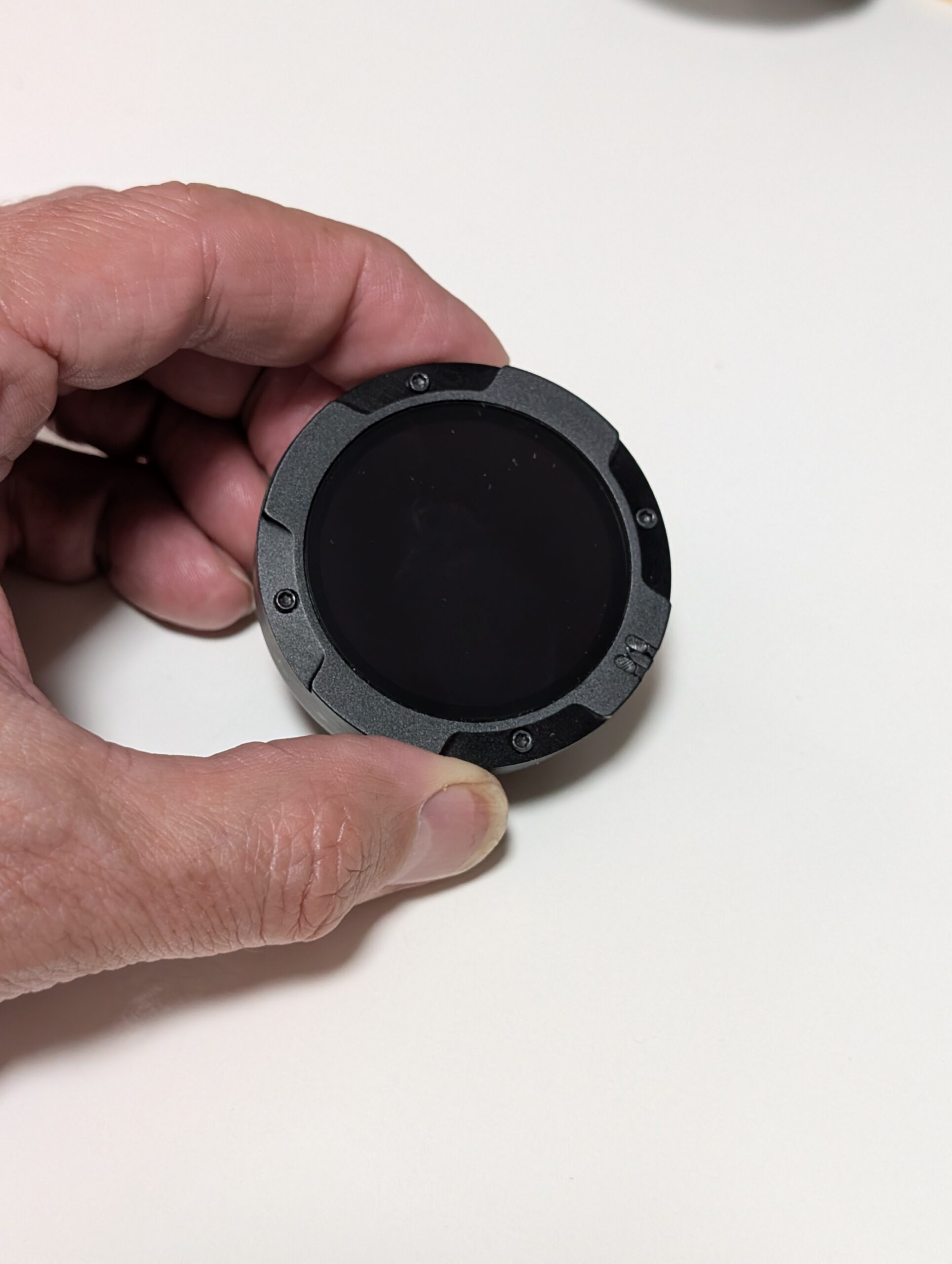
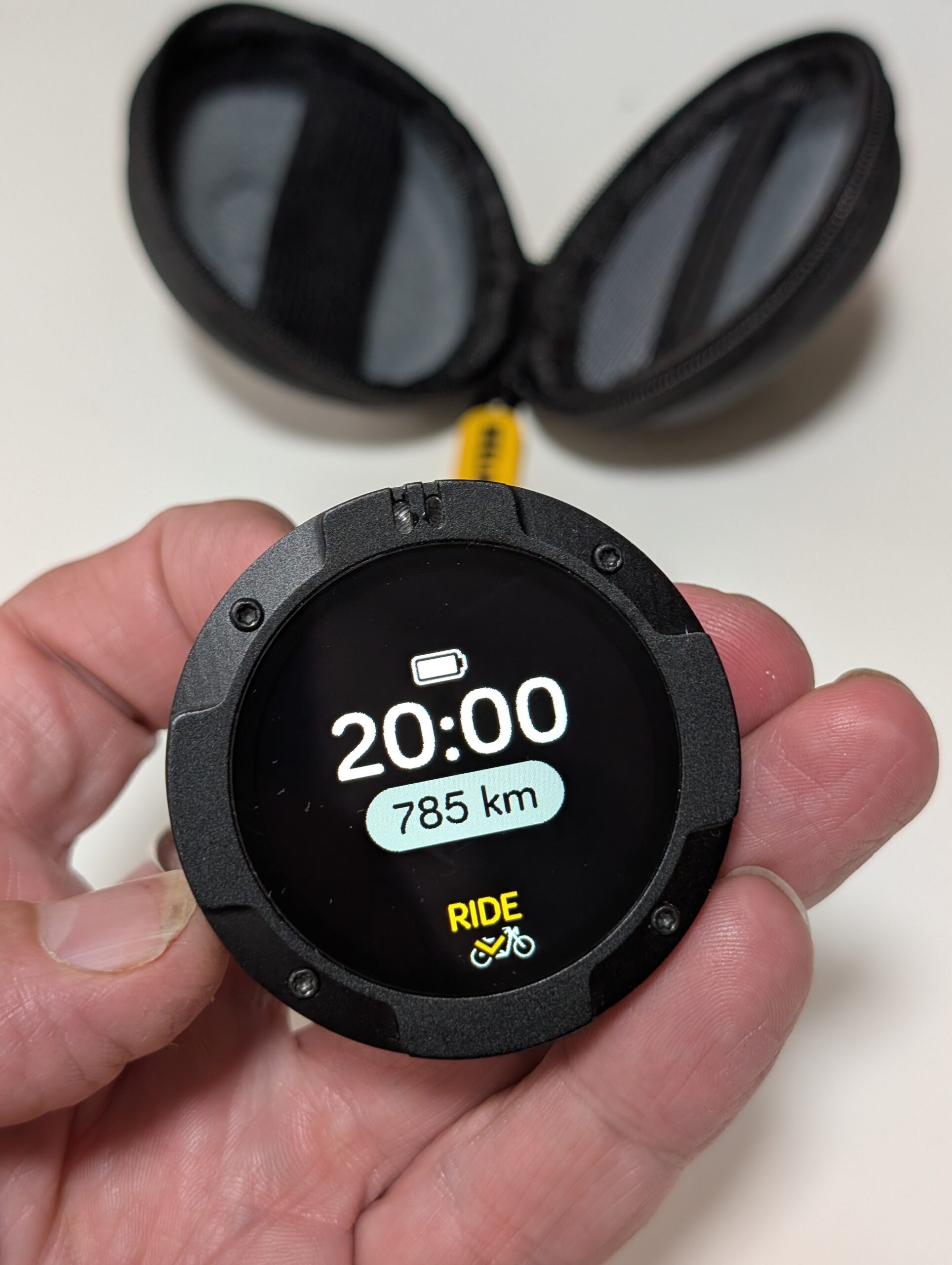
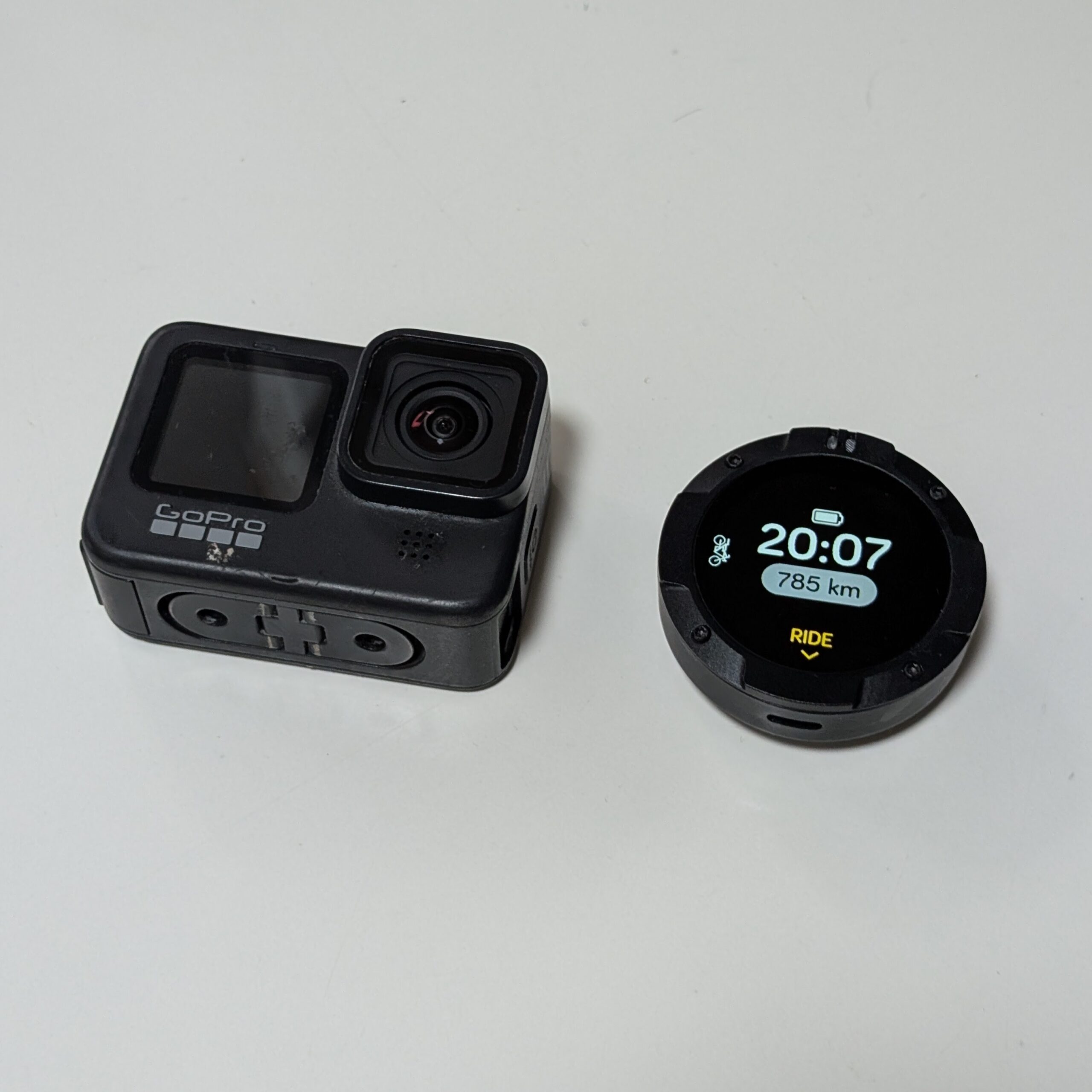
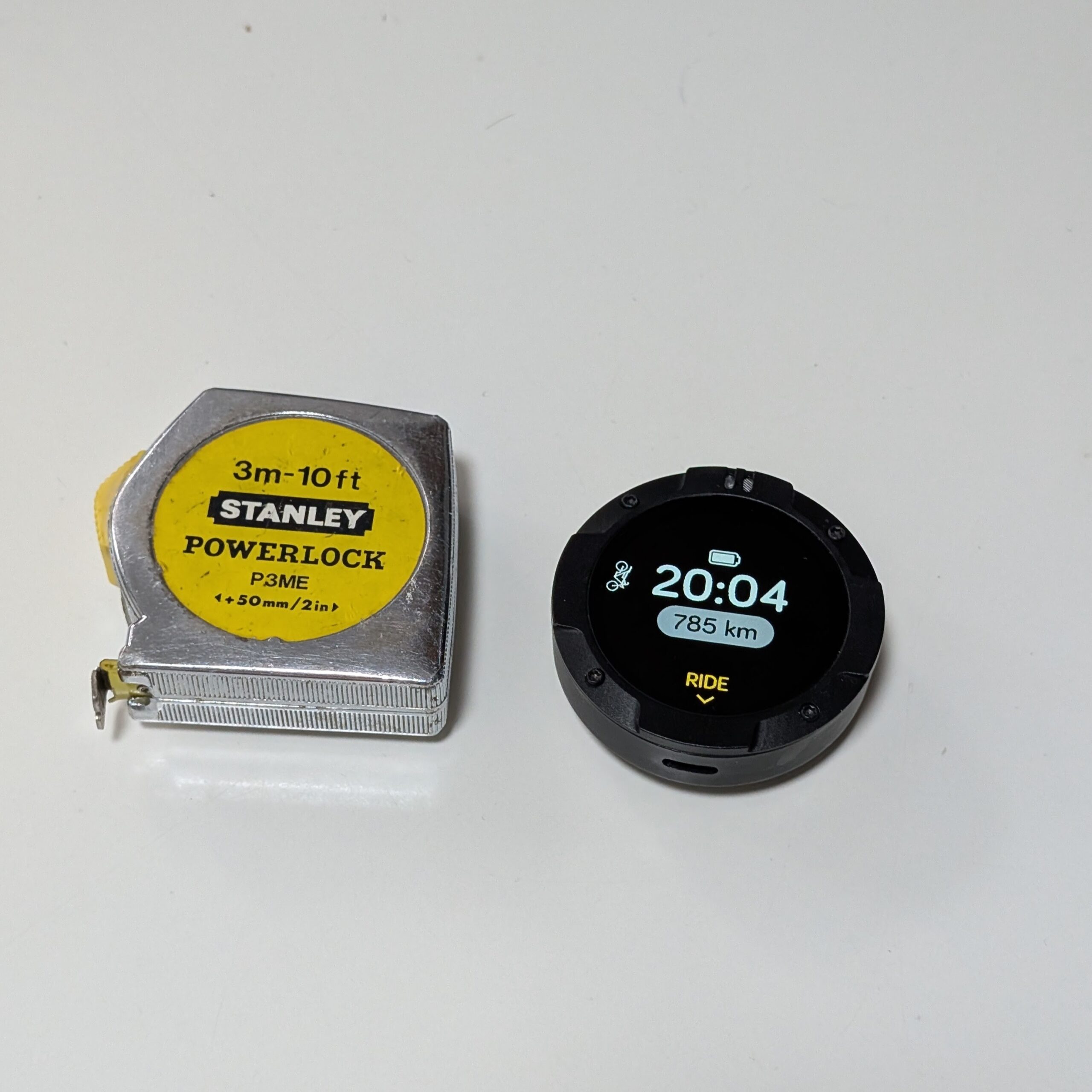
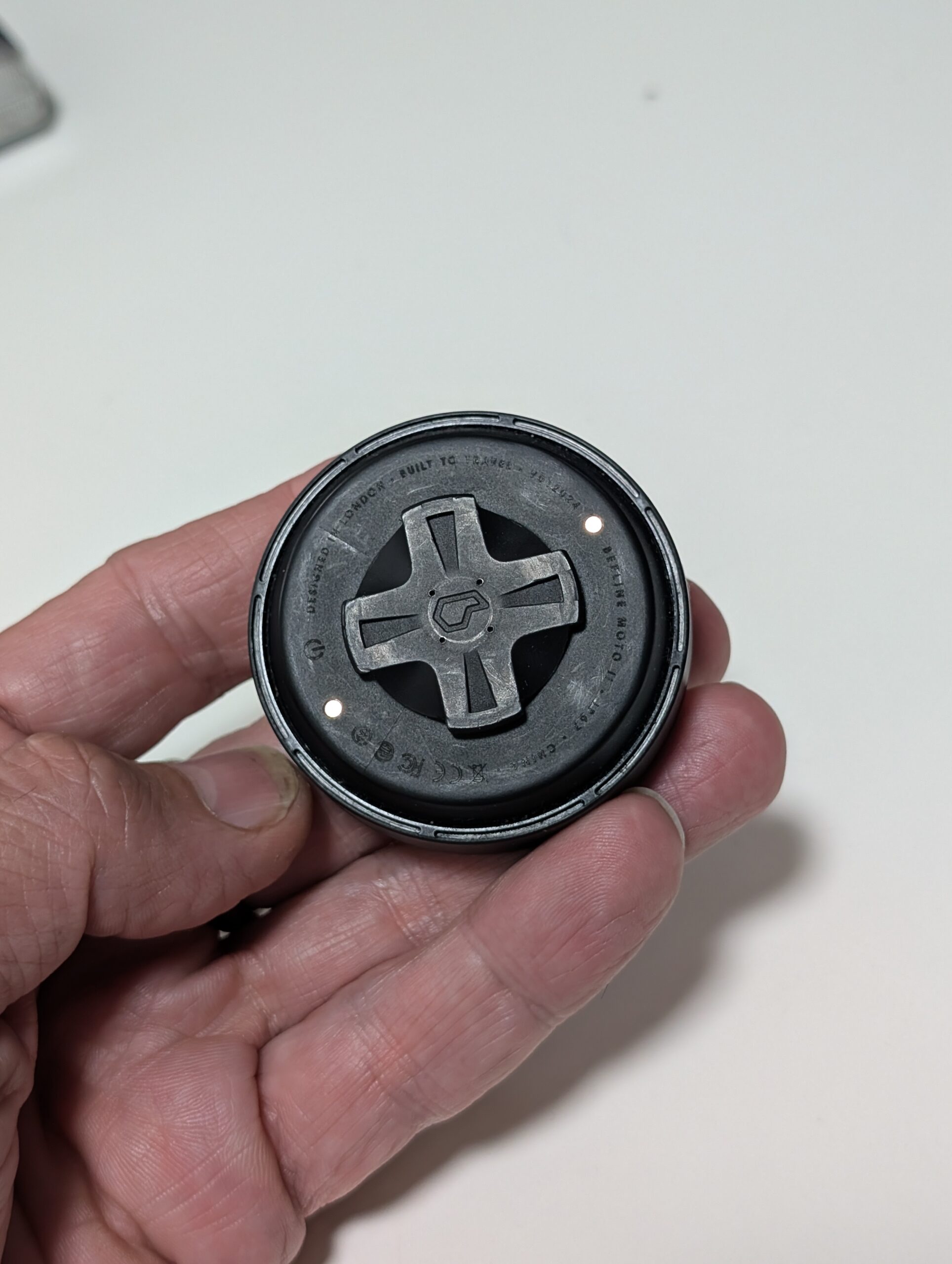
Underneath the device are two contact pins for a powered mount. I don’t have that accessory but I can see the advantage of having one less thing to charge at the end of a day’s touring.
Also integrated into the device are four physical switches around the screen bezel that will detect a press, not on the screen, but around the sides of the unit.
Physical switches are never the best choice for longevity but they are the best solution for gloved usage on the go and they work well. The switches allow both in-ride and off-ride features.
Is the Moto II big enough?
Yes, it is, but I’d certainly consider a slightly bigger version. The screen is said to be “ultra bright” but, importantly, the contrast is high and the text is readable. On a two day test I only had to shield it from the sun a few times. The sun will catch it occasionally, as you can see on the images.
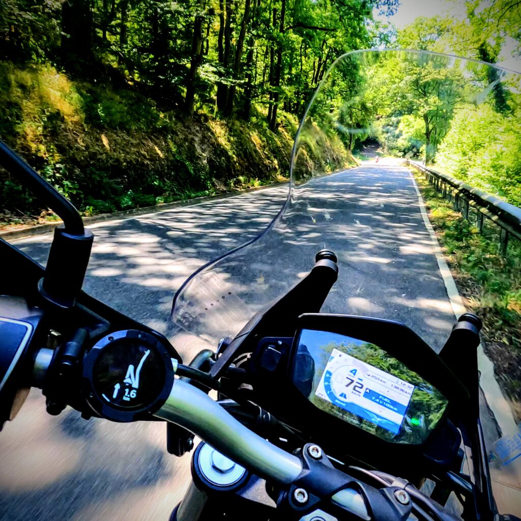
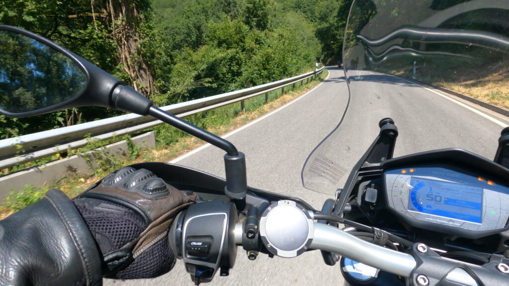
There’s no clutter on the screen and this is where the four rocker buttons come into play: there’s four different information screens.
Tip: Mounting on the left is an advantage for controls but you’re more likely to miss the flashing lights that warn of an upcoming turn.
Moto II User Interface. Features and how-to.
Before I list the features and how to use them, keep in mind that there’s a bit of a learning curve with the Moto II. This is not your smartphone so conventions you’re used to there, such as touchscreen operation, do not apply here. As a result, you’re likely to forget some of the shortcuts until you’ve used it for a few weeks.
It’s encouraging to see so much additional development being done on the software but that does mean that you need to keep up, too.
Turn on the Moto II with a long, 4 second press on the bottom button. You’ll see the time, total distance, battery indicator and the “Ride” pointer near the bottom.
There’s a motorcycle icon that moves around with the device. It makes a good fidget toy and I feel that this would be the perfect place to hide an easter egg. A game, perhaps?
At this point, if your smartphone was already paired and the Beeline app is running, the Moto II will auto to the Beeline app and then you’re, literally, ready to go.
From the main screen, before starting a route:
Top, long press: Instant start recording ride.
Top, short press: Reverse cycle through the main menu options: Options, Battery and brightness, Start Ride.
Bottom, long press: Turn off.
Bottom, short press: Cycle through the main menu options. Start Ride, battery and brightness, Options.
Remember that there’s no GPS in the Moto II so ride recording is only possible when the device is connected to a smartphone.
Getting riding with the Moto II
The Ride menu is where you will start most of your journeys via the Routes, Places or Record options. You must have routes or places saved on the app for the first two options to work.
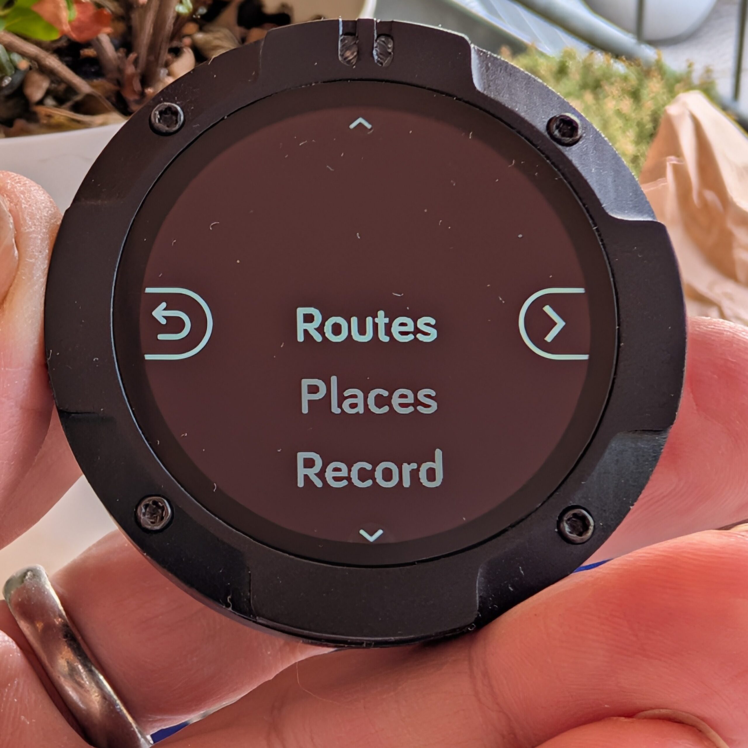
Routes: I have 15 routes saved on the app that I can cycle through on the Moto II.
Places: I have one place saved that I can select. A route will be planned when you select this option and if you’re subscribed to traffic, this will be taken into consideration in the planning.
Record: As it says, it will record ride data.
In-ride options.
Once you’re on a route you’ve got a number of display options:
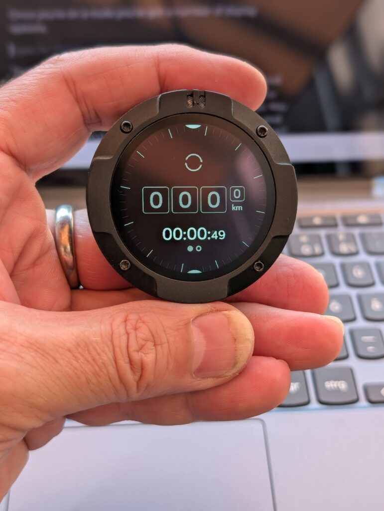
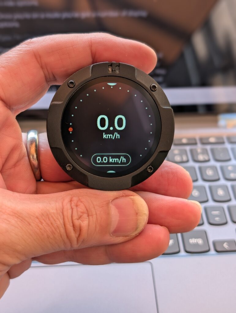
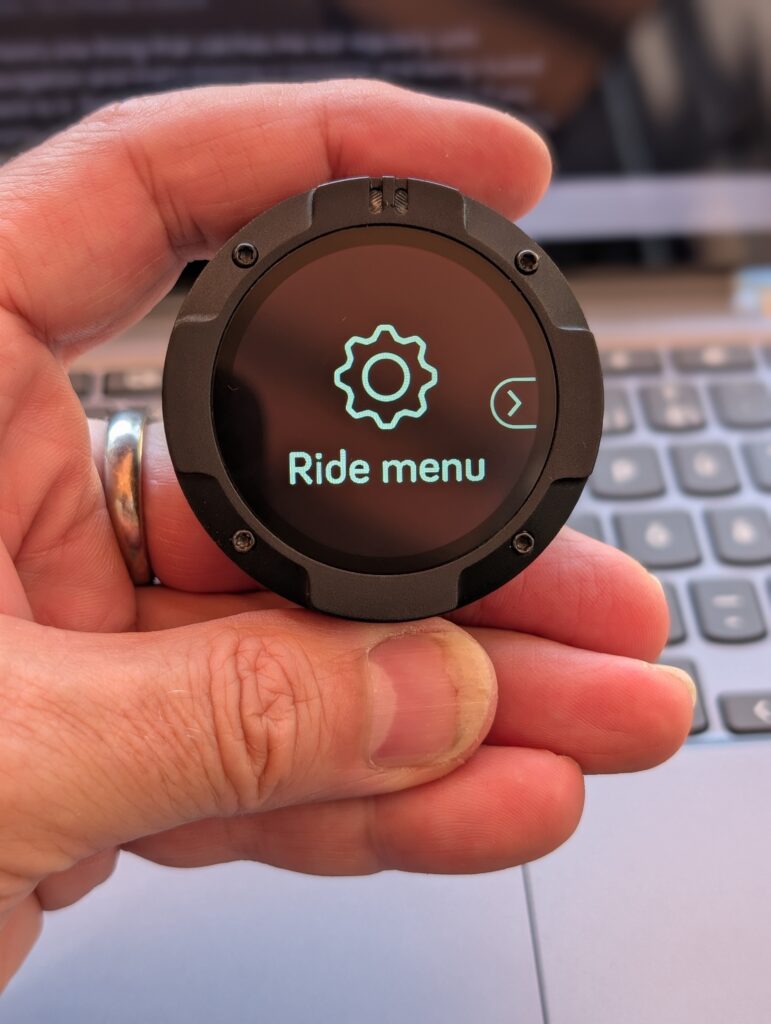
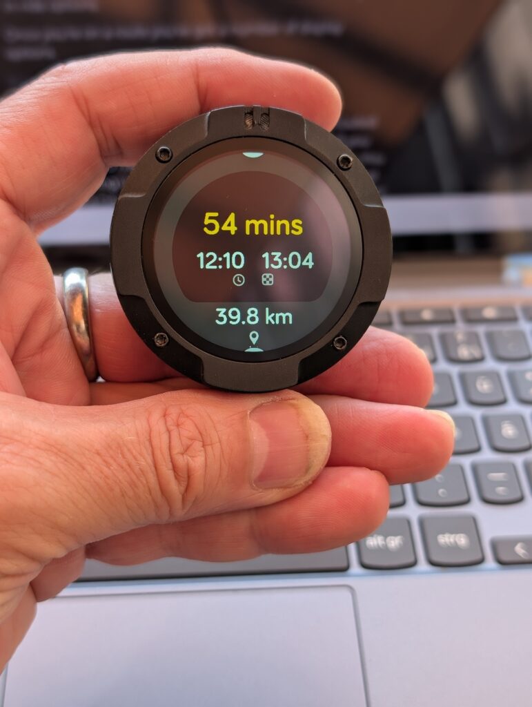
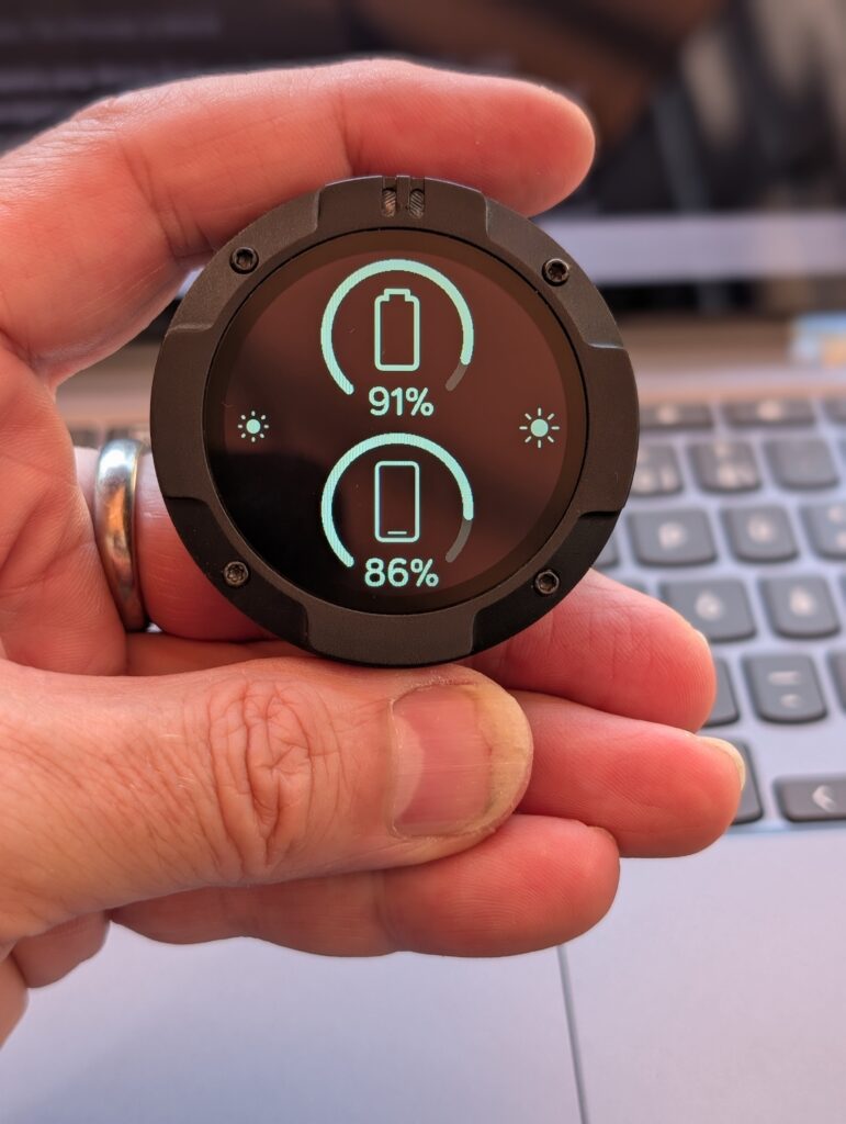
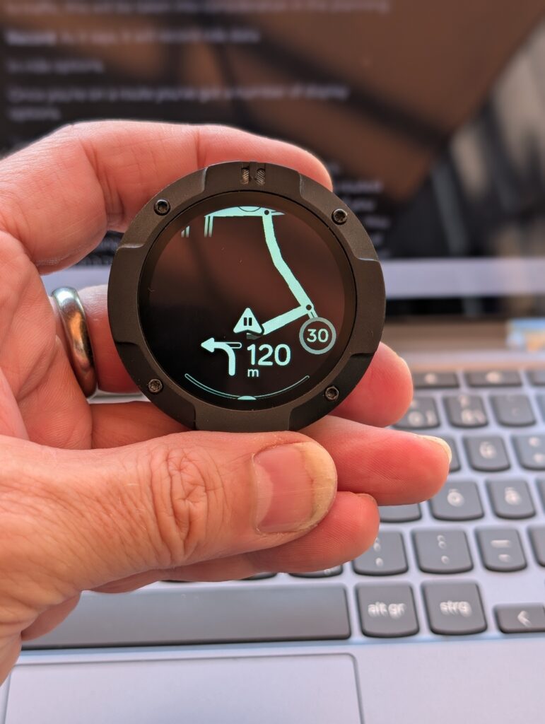
The route view also allows you to rate the road you’re on. Long-press on the right button: thumbs up for a good road. Long press on the left button: thumbs down for a bad road or a problem. That information goes back to Beeline.
The ride screen can be modified slightly to include the current speed limit. I find this distracting although it has, I admit, helped me.
One thing that catches me out regularly with any navigation device is missing a waypoint and getting routed back to it. Beeline will move on to the next waypoint if you come within 100 meters of it but that’s not what I need.
You know the feeling when you’re leading a group and you end up going round in a circle, or going back the way you came, right? Embarrassing, as well as time-wasting. To solve this an additional waypoint screen is needed. Distance and time to next waypoint. Distance and time from last waypoint.
One recently-added waypoint feature is the ability to skip a waypoint directly from the Moto II device. Assuming you know you’re going to miss a waypoint, it’s a great feature. If not, you could be deleting your next waypoint.
Skip waypoint: Long press on top button when riding a route. The option also exists in the Ride Menu.
The app supports auto-pause but there’s a manual pause button.
Pause ride: Bottom button. This also gives you access to the end-ride feature on the top button. (Long press.)
Speed camera data is available for subscribers to the paid plan.
Route planning
One of the areas I see big progress in is the route planning. Available in-app and through a (beta) web-based version for the big screen, it has the features I expect, but not the advanced features I want.
Base maps are provided by Openstreetmap, rendering and additional layers a provided by Mapbox and live traffic data via Here Technologies. Beeline also have their own data with which they optimise routing.
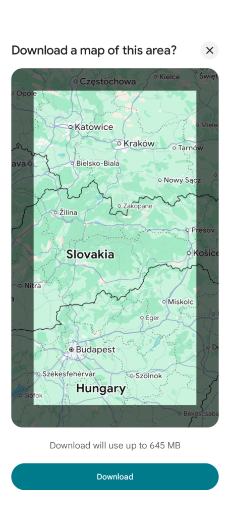
Beeline does not support offline maps which could be a problem for long-distance tourers. Previously planned routes are stored on the phone however and can be used as long as GPS is available on the phone. Re-routing or re-planning isn’t possible in this case.
A third option is the compass mode. More about that below.
On my 10000 km tour I expect to be offline quite a bit and I don’t expect to have routes planned for days ahead. If I’m realistic about it I’m probably never going to be more than 30 minutes away from a cellular data connection so perhaps it’s not a real problem if I remember the rule: Plan while connected. I’ll note here that Calimoto has offline map capability but that Google maps can also be used to download significant sized maps.
Topological maps (Paid feature): This is a real bonus for planning and riding. Seeing the route in 3D really helps find interesting locations. I just wish there were POIs:
Points of Interest: One of the features missing from Beeline is being able to overlay points of interest such as highly-rated roads, cafes, garages or community photos.
Layering is a core part of navigation and Beeline already takes data from multiple sources, including the road evaluations from live users so I suspect that this is a feature that will be implemented. It’s here that Calimoto shines with twisty highlights, mountain passes, bike meetups, petrol stations, food, camping and more.
If waypoints are important, adding and modifying waypoints should be simple and feature-rich. It took me a while to work it out but adding waypoints and crafting a route on the Beeline app is easy.
After you’ve created the start and destination, click on the route to create a new waypoint and then drag that new waypoint to where you want to go. Alternatively you can add an address to the end of the waypoint list and re-order that correctly in the waypoint list. Play the video below to see a demo.
Another area where Beeline lags Calimoto is on inter-waypoint features. I like to know how far, and how much time the distance between a waypoint will take. Is it the final push to a lunch stop? Is it the last stretch of the day? Is it a particularly interesting route that needs to be fun, and not fast? I ALWAYS plan a fast route out of a city with fun sections before lunch, a relaxed ride after lunch and then, if needed, a fast run to the destination. Unless you split a ride into different parts, this isn’t possible with Beeline.
Apart from waypoint-crafting, route options include the exclusion of motorways, unpaved roads and ferries and, if you have the subscription, routing around traffic problems. There are also three route planning styles that will apply to the whole route. Fast, Fun and Relaxed. Not all are available if the route has few alternatives.
While these route styling features are welcome, I challenge anyone to do a day’s riding that’s just fun, or just fast, from start to finish. Inter-waypoint riding styles is a must for serious planning.
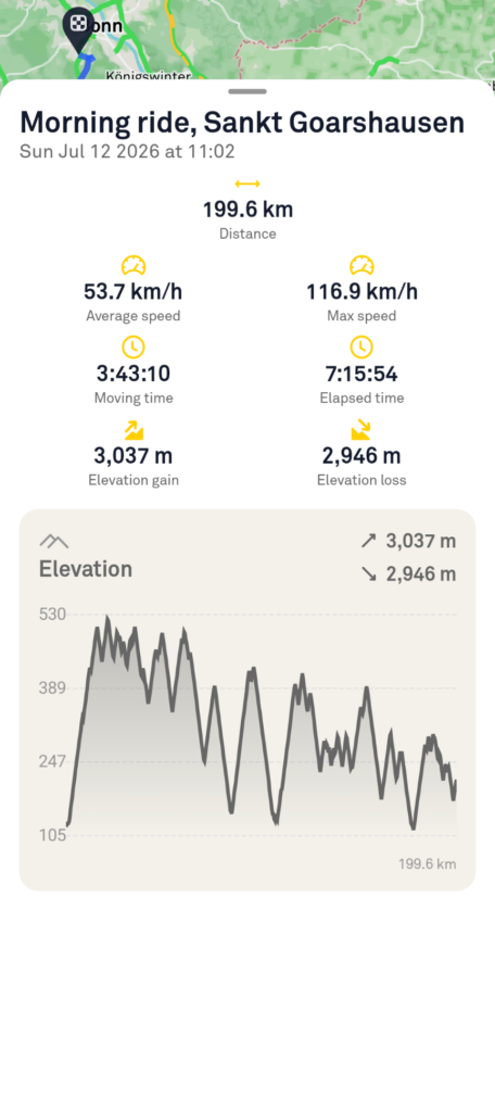
Post-ride features include speed and distance data, elevation data, the GPX log for the ridden route and some sharing and saving features.
There are no user-to-user sharing features in Beeline although there are GPX import features. See below.
On my wishlist: A video export feature that shows a smooth, fast replay of the route completed, with 3D modelling. This would be amazing for social sharing.
Compass mode
An alternative to turn-by-turn directions is compass mode. This is only available if you start a route from the app and you cannot switch to turn-by-turn mode from the Moto II.
Compass mode gives you a direction and a distance, by line of flight, to the next waypoint. It’s a fun tool but I can’t see myself using it. There’s always the sun!
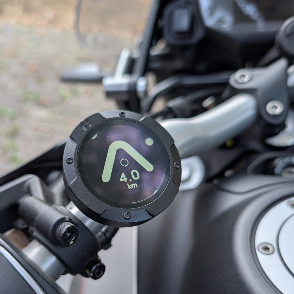
Moto 2 Battery life
In theory, on a new device, the battery life is 14 hours in-use but on the 7:15 journey above I was starting to think about a recharge. I’ll do more testing but for now I recommend 8 hours as your maximum safe journey time with full screen brightness. Lower screen brightnesses will increase this.
Idea: A screen-save mode which turns the display off if there’s more than 2km until the next turn. A screen-off mode would also be good for recording and for periods when you want to focus 100% on the road, or save battery. The low-brightness setting, available through the Moto II menus, could be a useful battery-saving option, if you remember to do it.
Moto II Price
This Moto II model launched in May 2024 at €199 in Europe with gunmetal and silver versions at €229 but prices for the black plastic model are currently around the €180 mark with an occasional €160 offer price. The app is free but there is a paid tier that gives you additional features.
Distance-based loop route generation, live traffic info and 3D maps with terrain height and buildings will cost €5.99 per month or €45 per year which is less than the basic Calimoto licence.
Let us not forget that the Moto II can be used for cycling and electric scooters.
News recently shared by Beeline is interesting. “We have a very exciting new feature that will be live very soon.” Could this be POIs? Team riding? Inter-waypoint routing styles?
Major product updates are shown on the Beeline website.
GPX imports
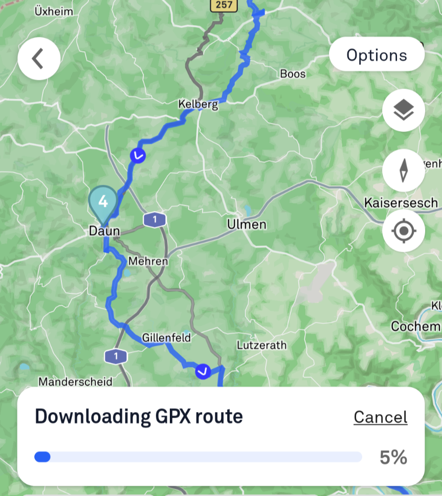
This is an advanced feature on Beeline because it can handle fixed breadcrumbs, turn-by-turn conversion and waypoint-by-waypoint routing. The former doesn’t give you any editing options and it meant, mainly, for off-roaders. TET routes, for example. Turn by turn mode will take that breadcrumb and try to match it to a route that it can then provide turn by turn directions on. Waypoint routing requires waypoints to be in the GPX file and, if they are, Beeline will create routes between the waypoints. Only this import method allows you to edit waypoints after import but the route created may not be the same as the system you exported the GPX from. The other two modes only provide uneditable routes.
Security
I’ve left the Moto II on my bike a couple of times and knowing how many lights I’ve lost from parked bicycles over the years it’s only a matter of time before the Moto II gets taken from my bars. I don’t see a solution to this problem!
Android auto and Apply Car Play are not available for the Beeline app, as you’d expect.
Beeline Web based planning
The web planning app is fairly new and still in beta but does allow mouse-driven route changes. This is a powerful feature and I look forward to improvements here.
https://maps.beeline.co/
Other features
Return trip planning is included but these aren’t loops. Having said that, you can take those routes and add waypoints to create a loop, which is sometimes better than a random loop.
Random Loop routes are included in the paid tier and they allow you to set a distance and get a looped route in return. There’s no way to influence the direction though which is a big minus point for me as all the good routes around me are east south or west. Shuffling the route until you see something suitable is an option but the return trip option, above, works better for me.
Shared tracking. There is no shared tracking available in Beeline. For those of you looking to keep family, friends and even your followers update you have to use an alternative app.
Updates
All Beeline app and firmware updates are listed here and you can see a regular monthly cadence.
Official Moto II Specifications
- Phone Requirements:
- iPhone: iOS 15 and above
- Android: Google Play running 8.0 Oreo and above
- Bluetooth 4.0 capability required
- Battery:Type: Rechargeable Lithium Polymer
- Capacity: 600mAh
- Riding Time: 14 hours
- Charging: USB-C with pogo pin contacts for charging whilst riding
- Display:Technology: Ultra bright IPS TFT with anti-reflective and hydrophobic coating
- Size: 1.45” (36.8mm) diagonal, 10cm total areaResolution: 412×412 (402ppi)
- Sensors:
- Accelerometer
- Gyroscope
- Magnetometer
- Connectivity:Bluetooth 4.0 low-energy
- Interface:Buttons: RockerTop 2, glove-friendly buttons (accessible from the front)
- Water and Particle Resistance:IP67 rated
- Dimensions: 53mm diameter, 20.5mm deep
- Weight: 42g (standard), 60g (metal)
- Navigation:Advanced turn-by-turn navigation with ETA and speed info
- Classic arrow display for route mode and compass mode
- Turn alerts: Alert LED, device speaker (spoken alerts via app)
- Additional Features:Speed limit alerts (where available)
- Ride tracking and sharing capabilities
- GPX route import/export
- Supports 8 languages for global riders
- Fun and Fast route planning options